Design reference 16 · Workspaces & discovery
Field Atlas
Use location as the primary route into information.
Download design ZIP · Open interactive specimen
Design specification
Philosophy and fit. Use location as the primary route into information. Suitable for local guides, public amenities, heritage trails, travel research, and geographically organised collections.
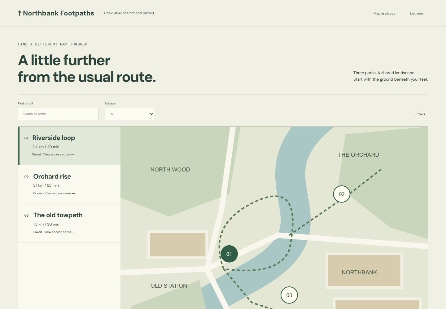
Visual grammar. Pair a large, deliberately styled map with a compact searchable place list and a filter bar. Use an earthy cream ground, dark green labels, blue waterways, and distinct labelled place markers. A practical sans and small cartographic labels reinforce the atlas character. The selected place remains obvious in both map and list.
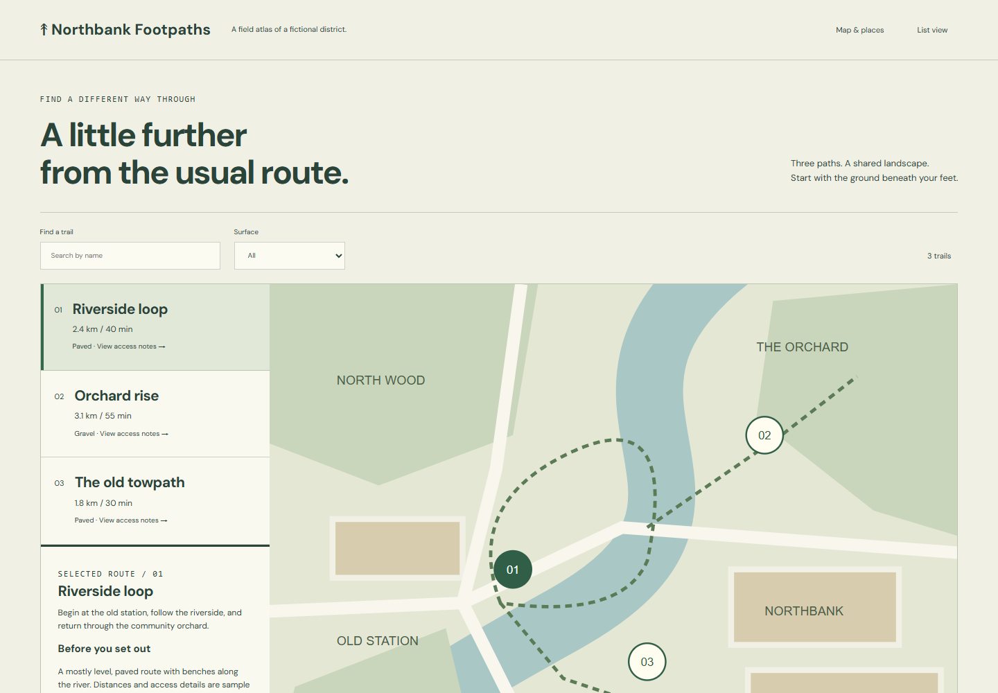
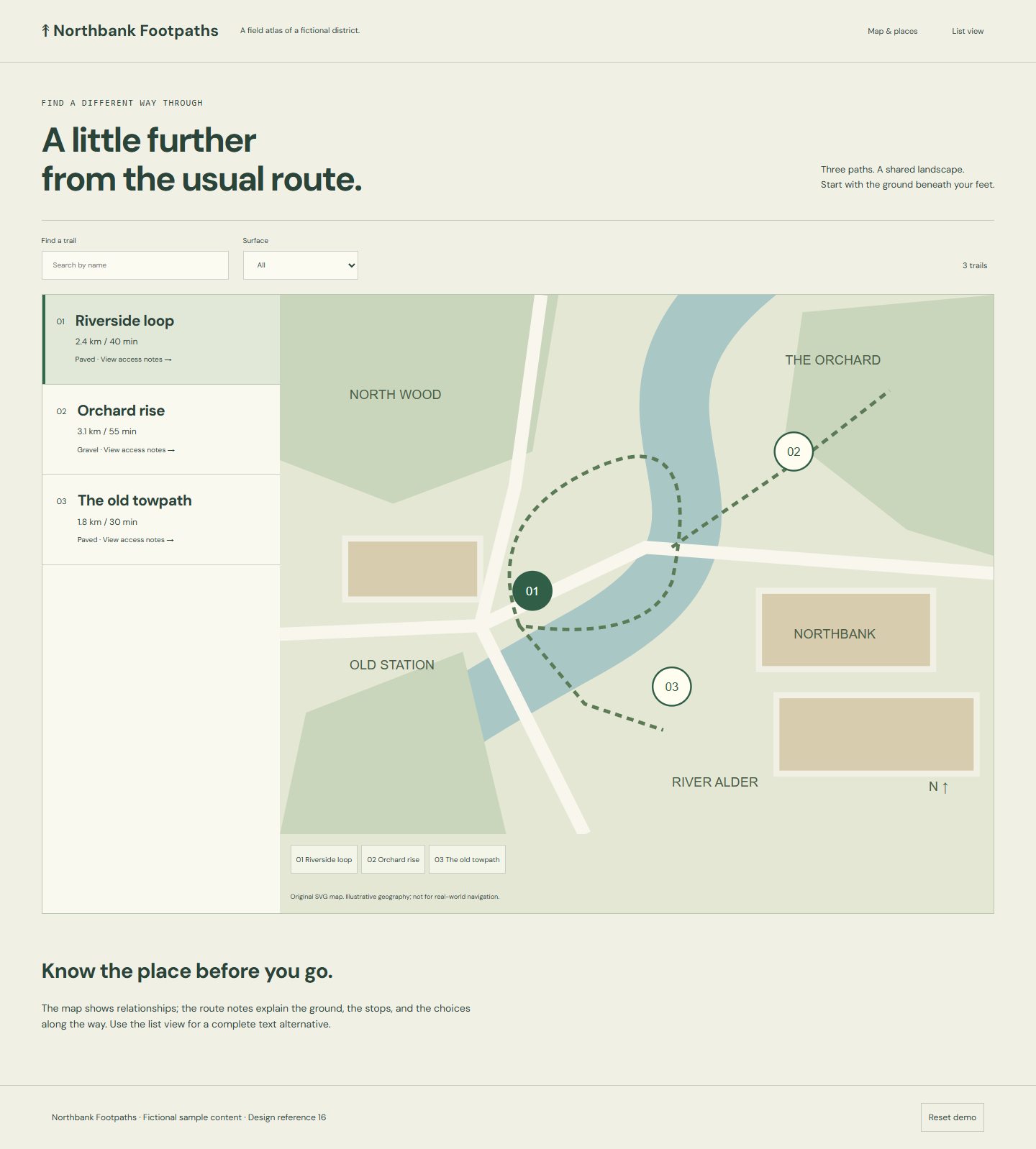
Specimen and flow. *Northbank Footpaths* uses an original SVG map of a fictional district. Visitors filter trails by surface, select a route, and inspect its stops and access notes. Supporting states show a route detail and a list-only search result.
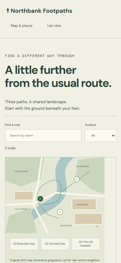
Adaptation and identity. Mobile uses a clear map/list switch while preserving filters and selection. All places remain reachable through ordinary links; the reference needs no geolocation or external map service. Preserve geographic relationships and readable labels; avoid decorative maps disconnected from results or essential hover interactions. Effort: medium.
Files for a coding model
Reference images
- Desktop — 1440 × 1000 viewport
- Phone — 390 × 844 viewport
- Supporting state — 1440 × 1000 viewport
- Full page — 1440 × 1000 viewport
Supporting routes
Reuse
Use and adapt the original code and specifications for personal or commercial work under MIT. Keep applicable font and photo notices. The ZIP includes the complete runnable reference and its local assets.